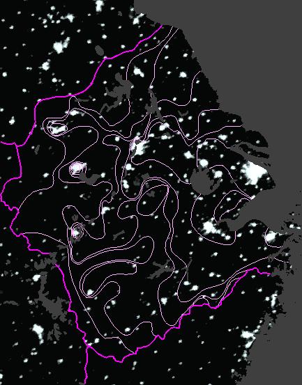
Urban Land Use in HRS
-
Nighttime satellite images reveal city lights
-
worldwide composite image produced by NOAA (Elvidge 1998)
-
good correlation of lights with population in USA
-
attempt to project China's population from imagery produces an estimate
of 1.6 billion (Sutton 1999)
-
HRS spatial differentiation
-
CPZ and LUH provide clues to improve projections
-
moving from core to periphery, observe a systematic decline in percentage
of urbanization
 |